SNOTEL Data
Department of Agriculture, United States Federal Government (USDA)
ACCESS INFORMATION
DATA ACCESS
http://www.wcc.nrcs.usda.gov/snow/ACCESS TYPE
Open access
DATA FORMAT
- txt
- csv
- html
OVERVIEW
RESOURCE DESCRIPTION
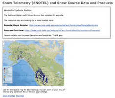
Snow Telemetry (SNOTEL) is an extensive system of snowpack and climate sensors, maintained and operated by the US Department of Agriculture's Natural Resources Conservation Service (USDA NRCS) for the Western United States and Alaska. There are over 600 SNOTEL sites used to collect data. SNOTEL data include snow water content, accumulated precipitation, and air temperature. Selected sites also measure snow depth, soil moisture and temperature, wind speed, solar radiation, and atmospheric pressure. These data help in forecasting yearly water supplies and are used to predict floods. Some data are reported hourly while others are reported at less frequent intervals.
BROAD DATA CATEGORIES
- Agriculture and natural resources
- Weather
SPECIFIC DATA ELEMENTS
- Flood
- Drought
RESOLUTION
GEOGRAPHIC COVERAGE
Alaska; Arizona; California; Colorado; Idaho; Montana; Nevada; New Mexico; Oregon; South Dakota; Utah; Washington; Wyoming
