Geostationary Satellite Server (GOES) Imagery
National Weather Service, National Oceanic and Atmospheric Administration (NWS)
Hurricane
Earthquake
Flood
Nuclear detonation
Imagery
ACCESS INFORMATION
DATA ACCESS
http://www.goes.noaa.gov/ACCESS TYPE
Open access
DATA FORMAT
- mpeg
- gif
OVERVIEW
RESOURCE DESCRIPTION
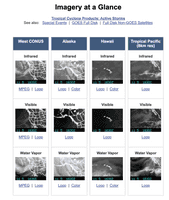
The Geostationary Satellite Server (GOES) hosts images taken by GOES satellites operated by the National Oceanic and Atmospheric Administration. GOES images describe several atmospheric attributes, including surface winds, water vapor, and rain rate, and they include infrared imagery. GOES images are used in weather forecasting, severe storm tracking, and weather research.
BROAD DATA CATEGORIES
- Weather
- Geospatial data
SPECIFIC DATA ELEMENTS
- Hurricane
- Earthquake
- Flood
- Nuclear detonation
- Imagery
RESOLUTION
GEOGRAPHIC COVERAGE
US
