Community Analyst
Esri
ACCESS INFORMATION
ACCESS TYPE
Limited access
DATA FORMAT
- xls
OVERVIEW
RESOURCE DESCRIPTION
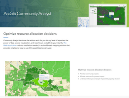
The Community Analyst tool is a geospatial ESRI application that allows users to examine county-level and Census block group-level US Census data for an area of interest. The program generates reports for the area containing economic, population, housing, and income profiles. Population profiles provide information on nationality, race, spoken languages, and income status. Other specific population data includes total number of households, diabetic population, obese population, households without a car, and poverty rate in the area. Users can define a specific geographic area of interest to analyze. Existing common boundaries can be used (such as counties or Census block groups), or the user can draw a specific area of interest on the map. Community Analyst has been used to guide resource allocation for need-based grant funding.
BROAD DATA CATEGORIES
- Population
- Economy
- Health
SPECIFIC DATA ELEMENTS
- Population
RESOLUTION
GEOGRAPHIC COVERAGE
Global
